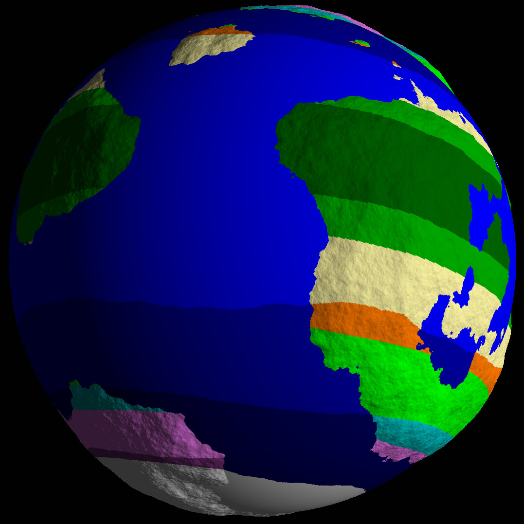
Have we come to a consensus on how finely we want the oceans to be partitioned? The closest to the current patch map generator would probably be to classify the oceans into two bands: Ice Cap and Ocean. (Ice Cap would provide the Ice shelf patches on its boundary) There doesn’t seem to be much variation between different ocean temperatures right now in the current patch map generator, so only one non-frozen ocean classification would be sufficient to emulate the current behavior. But do we want to just emulate the current patch map generator behavior, or do we want a different classification method? Splitting the ocean types into, say, tropical and temperate for example.


These (unfortunately low resolution) NASA maps are a comparison of how the temperature changes on Earth. The right image shows that adding more temperature bands only really differentiates the surface of the oceans.
Also, right now the patch map is fully connected. How do we want to deal with disconnected sections, which would likely be only a few ocean patches at most consisting of an interior ocean or large lakes inside of a supercontinent or continent cluster? Are disconnected regions just not shown on the Microbe/Multicellular stage patch map if they are not accessible?
Furthermore, is the patch map supposed to represent the entire world at the highest level, or is it just a representative subsection of the world? Increasing the fineness of ocean partitioning will also increase the amount of patches we have, so if we need to limit the number of patches created then the patch map will have to be a subset of some sort. The world size setting could then adjust how much of the world subsection is selected in for the patch map used in Microbe/Multicellular.
I imagine that this will have to be adjusted quite a bit until we find the ideal solution, but it would be useful to have an ideal to point towards until then.