@Buckly My idea was that any patch that’s adjacent to another patch in a different chunk could act as a gateway. By “scoping in” to a patch, you would see all the other patches connected to it, including those in other chunks. This does seem a bit inconvenient though. lots of extra clicks to get to where you want to be. Depends on how often the player will need to guide their species, I guess.
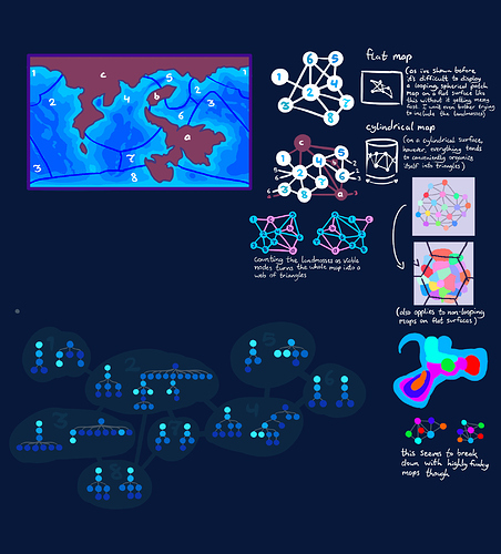
Here’s a concept I worked on a little earlier in an attempt to find some patterns that could be used to help generate a “fake” patch map, which isn’t based on actual topography, but instead is randomly generated according to principles inspired by “real” patch maps that are.
I didn’t really come up with anything but it was my first real attempt to show how the overall map of an entire planet might look.
Anyway, with all that out of the way…
Despite all the work we’ve poured into figuring out a node-based patch map, I honestly think a visual map might be a lot simpler at this point. It turns out that representing all the patches in the world and their connections in an understandable way is kinda hard to do, and I’m not sure if going through all this work just to hide information from the player is worth it.
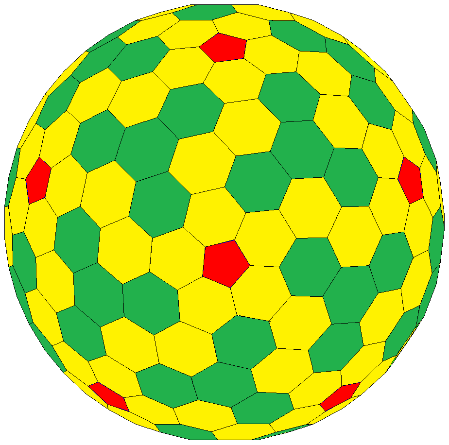
so one way to visually convey the map without revealing the whole globe all at once would be to have only one small section of it be viewable at a time (such as a single square/cell, if the planet were divided with a grid similar to this:)
(ocean “chunks” aren’t being considered here at all, and the hexagonal and pentagonal cells are only here to divide the planet into smaller, viewable pieces)
Players would be able to see the general topology of the currently viewed cell, perhaps somewhat “black and white” (symbolically speaking) so as to not give away the general look of the world, while still accurately conveying the highs and lows, which are relevant to the player.
The player could maybe move a cursor around in the highlighted cell, which would show which patches are directly under it.
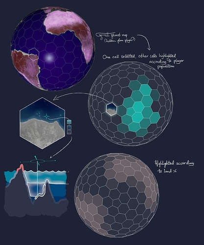
Here is an example of an alien planet, divided in the way shown above. A single, hexagonal cell is highlighted and zoomed in on, with the cursor hovering over the ocean and showing the patches underneath it. (note that the cross-section underneath doesn’t correspond to the terrain in the cell, it’s just a diagram with exaggerated terrain to show how selecting patches works)
While this prevents players from immediately seeing their entire world all at once, someone could potentially painstakingly go through every cell and copy its contents until a complete globe of the planet exists. One way to prevent this, at least early on, would be to only have cells near your species’ populations visible, with the rest covered in a fog of war until your species expands near them.
With the whole world grayed out and replaced with what looks like an advanced football, it might be easy to lose track of where things are, so perhaps the cells could be shaded in regards to different things. In the concept I showed highlighting according to player population, so players can know where their species is, and land percentage, so players can see where they (mostly) can and can’t go.


